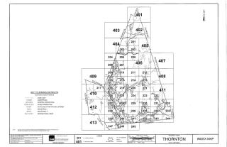
Tax Maps
This easy-to-use online system allows you to query, browse, report and print maps from your own computers.
With the system you will be able to find abutters, run reports, print labels, view multiple map layers and find parcel details. There is also a drawing tool, a measuring tool, street view, birds eye view and other useful attributes available within the system.
This system will be updated monthly with new ownership, address changes and assessing information. For up-to-date information regarding assessing details, it is always best to contact the Assessing Department.
Maps are updated annually after April 1st of each year with new subdivisions, boundary line adjustments, etc.
(You will find a help document in the attachments with resources on how to utilize the many attributes of the GIS system.)
| Attachment | Size |
|---|---|
| 651.48 KB | |
| 3.15 MB | |
| 242.24 KB | |
| 269.64 KB | |
| 351.63 KB | |
| 208.48 KB | |
| 320.01 KB | |
| 260.49 KB | |
| 270.57 KB | |
| 289.41 KB | |
| 311.71 KB | |
| 290.08 KB | |
| 203.3 KB | |
| 268.71 KB | |
| 464.4 KB | |
| 244.82 KB | |
| 372.94 KB | |
| 342.13 KB | |
| 243.89 KB | |
| 396.57 KB | |
| 391.95 KB | |
| 379.34 KB | |
| 308.4 KB | |
| 326.28 KB | |
| 209.8 KB | |
| 243.94 KB | |
| 366.39 KB | |
| 328.9 KB | |
| 375.23 KB | |
| 481.14 KB | |
| 221.23 KB | |
| 384.28 KB | |
| 343.16 KB | |
| 294.21 KB | |
| 259.66 KB | |
| 369.48 KB | |
| 533.54 KB | |
| 307.58 KB | |
| 449.11 KB | |
| 323.74 KB | |
| 359.49 KB | |
| 540.13 KB | |
| 382.23 KB | |
| 488.23 KB | |
| 363.07 KB | |
| 213.84 KB | |
| 235.24 KB | |
| 340.57 KB | |
| 225.75 KB | |
| 201.45 KB | |
| 248.92 KB | |
| 204.75 KB | |
| 298.41 KB | |
| 281.25 KB | |
| 259.6 KB | |
| 207.09 KB | |
| 245.87 KB | |
| 201.92 KB | |
| 236.7 KB | |
| 284.33 KB | |
| 244.03 KB | |
| 215.96 KB | |
| 650.9 KB | |
| 7.84 MB |